 |
SHANKLIN EsplanadeIsle of Wight |
Old postcards are sometimes poorly produced and grainy, I've done my best to scan them. Please click thumbnails for full size picture. Dates are from the card or my estimate (where possible). The manufacturer of the card is shown in brackets (where available).
'The Esplanade is an undercliff promenade and roadway, almost level with the sea, and more than half a mile long. From it extends the Pier (toll 2d., 12 tickets Is. 6d. Season tickets at reduced rates). The Pier Casino is used daily by a concert party during the summer. On Sundays special concerts are organized. At the end of the pier is the Dance Pavilion. As at Sandown, the sands are all that could be wished, and slope so gradually that bathing is perfectly safe, while the rarely ruffled bay is ideal for boating. At the northern end of the Esplanade are very popular public bowling greens, putting greens, and hard tennis courts.'
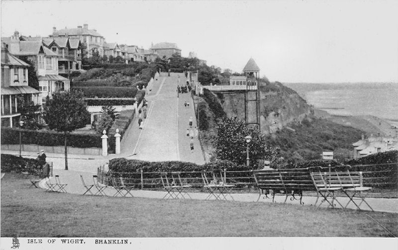
The greater part of the town is built upon the cliff at an elevation of from a hundred to a hundred and fifty feet above the sea. The cliff is a sheer perpendicular wall. At the north and south extremities of the town there are slopes, as easy as can be made, leading down to the Esplanade; but from the pretty Keats Green (a “thing of beauty and a joy for ever,” as a quotation from Endymion rightly reminds us) a zigzag flight of steps must be descended, or use made of the hydraulic Lift (1d. down; 2d. up). Keats made Shanklin his place of residence in the early part of 1819, and here he wrote the play of Otho the Great and the fine poem of Lamia. The Green is one of the most frequented spots in Shanklin. It is well provided with seats and commands entrancing views of the Bay.
Ward Lock Red Guide from the 1920's
 |
 |
|
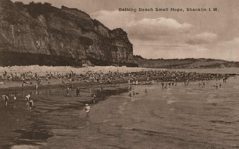
Small Hope Beach, Shanklin, looking toward Sandown. |
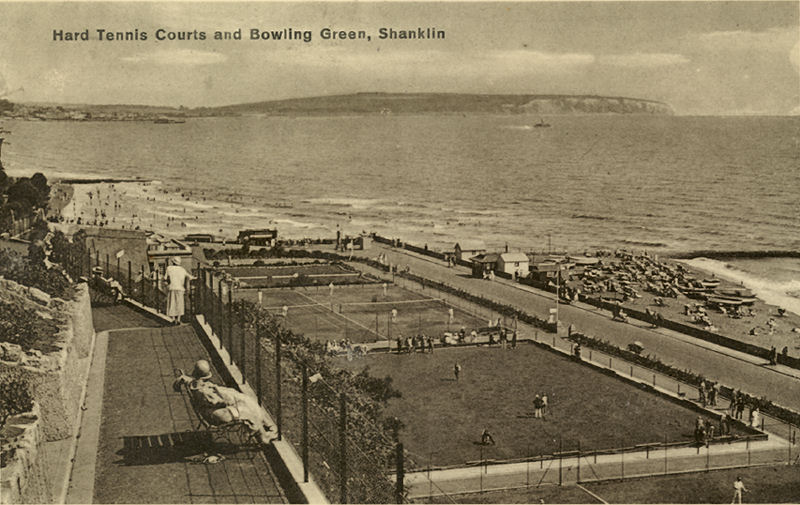
Looking from the cliff path across the bowling green and tennis courts towards Sandown and Culver. Note the paddle steamer in the bay and Sandown Pier in the background. Around 1930. |
 |
 |
|
The cliff path looking south with Appley cliffs beyond the pier around 1935. (Nigh) |
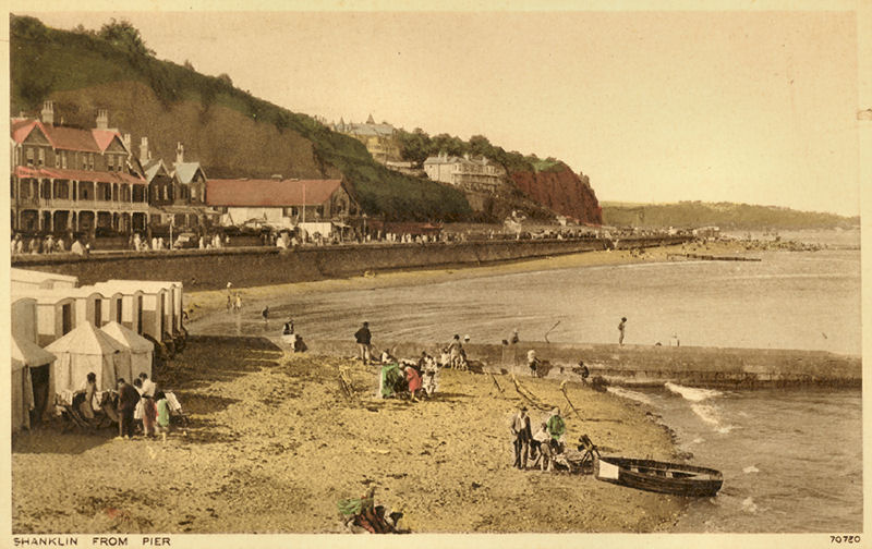
Shanklin from the Pier. (Photochrom) |
 |
 |
|
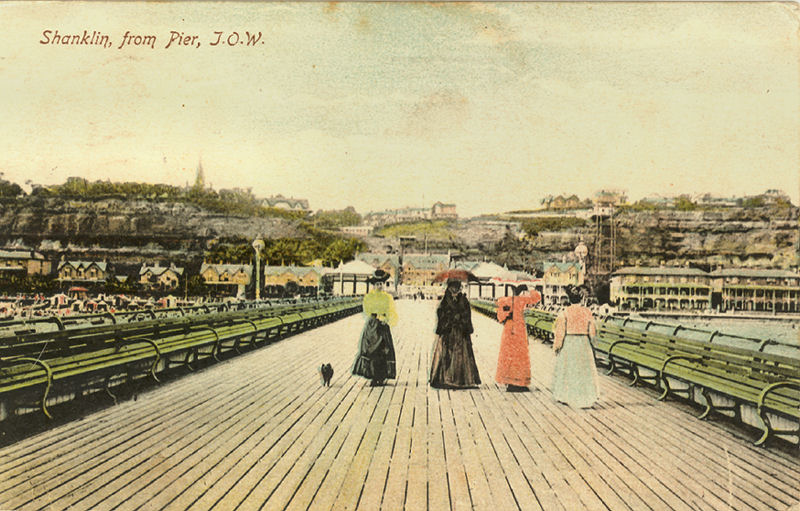
Shanklin from the Pier, about 1910. (Woodbury) |
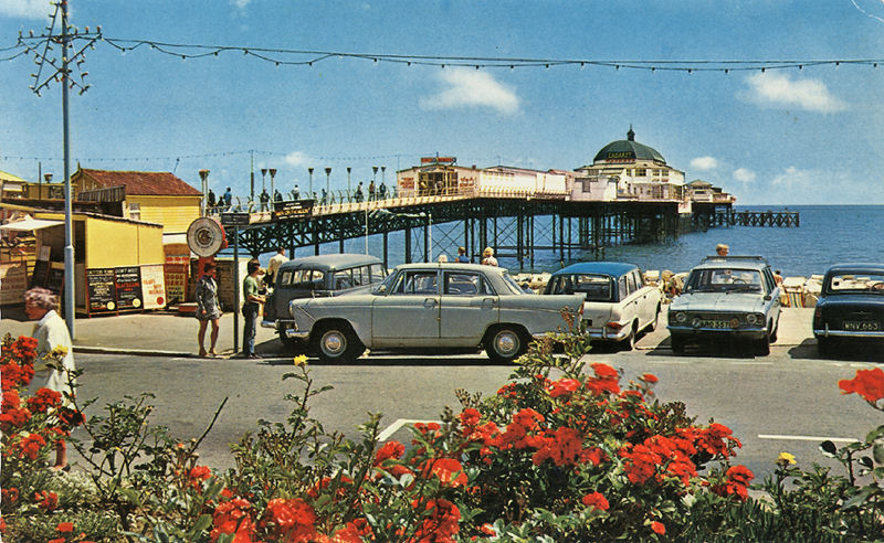
Shanklin Esplanade looking down the pier from the 1960's (Constance) |
 |
 |
|
View looking towards the lift (built in 1892). Card postmarked 1907. |
Shanklin Lift from Keats Green about1910. (Tuck) |
 |
 |
|
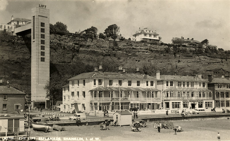
The old lift was demolished (blown up!) in 1957. This card shows rebuilt lift from the pier, probably about 1960. (Nigh) |
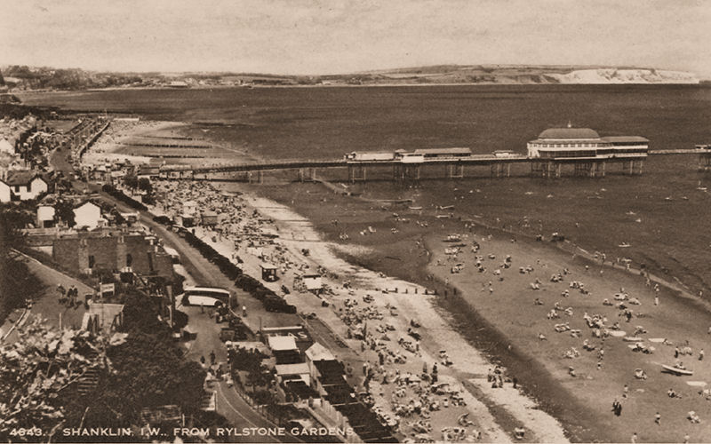
Shanklin from Rylstone Gardens, showing the Pier. (Dixon) |
|
|
|
|
Shanklin looking towards the pier from Appley Cliffs, probably between 1910 and 1920. (Photochrom) |
Another view looking towards the pier, dating from around the turn of the century. (Frith) |

|
|
|
Described as 'A Rocky Pool near Shanklin' but actually Appley beach probably around 1905. (Swift) |
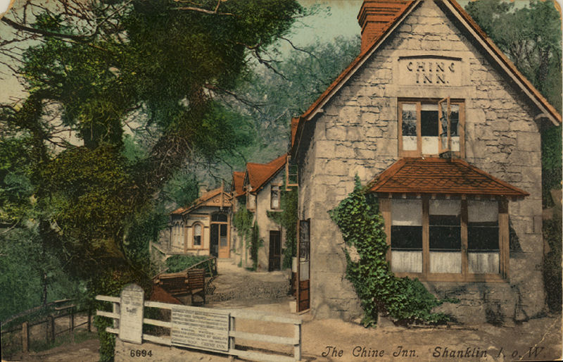
Chine Inn, Shanklin 1906 |


Freshwater | Totland | Alum Bay and the Needles | Yarmouth | Shalfleet | Newtown | Calbourne | Carisbrooke Castle | Newport and Carisbrooke | Cowes and Gurnard | Osborne House | Wootton & Fishbourne | Quarr & Binstead | Ryde | Seaview | Bembridge | Brading | Sandown | Shanklin | Godshill | Arreton Valley | Ventnor | St Lawrence and the Undercliff | St Catherine's Lighthouse's | Niton | Blackgang Chine | Blackgang and Chale | Brighstone and Shorwell | Mottistone to Compton
10 December 2008